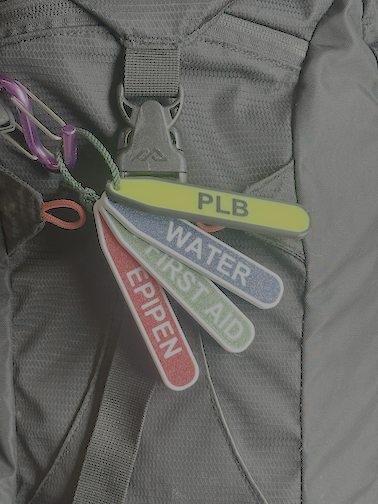

A coastal paddle trip planned from a flat-water mindset will create problems that are not visible on a route map. The ocean is dynamic in a way that lakes and flatwater rivers are not. Conditions that were forecast accurately 24 hours out can change significantly by launch time. Landing sites that look straightforward from above may be complicated by surf at the particular state of tide you arrive at. The planning process for a coastal paddle trip integrates marine forecasting, tide prediction, site assessment, contingency planning, and group capability assessment in a way that demands more preparation than most other paddling contexts.
Route Planning and Landing Site Assessment
For a coastal paddle route, map every potential landing site between the launch and the destination. Not just the planned lunch spot and the take-out, but every beach, headland landing, or harbour entry that could be used if conditions deteriorate or the group needs to stop unexpectedly. Assess each site for: landing type (sand beach, gravel, rock platform, rock shelf), swell exposure, surf height threshold at which landing becomes difficult or dangerous, and vehicle access for emergency evacuation. On NSW coastal routes, a landing that looks easy on a still day may be completely impassable with a 2-metre south-east swell.
Marine Forecast Interpretation
The BOM coastal waters forecast for your area provides: significant wave height (the average of the highest one-third of waves), swell period (the time in seconds between successive swells -- longer period means more powerful swells), wind speed and direction, and sea conditions description. For recreational coastal kayaking, a useful starting threshold is significant wave height below 1.0m for groups with limited open-water experience, up to 1.5m for experienced recreational groups, and above that for paddlers with specific sea kayak skills including self-rescue and rolling competence. These are starting thresholds, not fixed rules. Swell direction and period, local geography, and group capability all modify the assessment.
Tides and Their Effect on Coastal Paddling
Tides affect coastal paddling in three ways: current (tidal current in headland passages and estuary entrances can be significant and will either assist or oppose your direction), landing conditions (a beach at low tide may be surf-free while the same beach at high tide pushes breaking waves to the top of the beach or onto rocks), and access (launching or landing at a site that has a rock shelf may only be possible within a specific tidal window). Get the tide tables for your launch site and all significant points along the route before the trip. Plan your timing around the tides as well as the forecast conditions.
Group Capability Assessment for Coastal Trips
Before a coastal trip, honestly assess the specific skills of each group member. Relevant skills are: the ability to self-rescue after a capsize in open water (wet exit, paddle float re-entry, or T-rescue with a partner), the ability to surf-land a kayak safely at a beach with moderate surf, the ability to maintain a specific course in cross-wind and cross-swell conditions, and the fitness to paddle for the planned daily distances against expected conditions. Any group member without reliable self-rescue skills in the expected conditions is a significant liability in a coastal environment. This does not mean they should not come -- it means the trip must be designed around their capability.
Communication Plan
Mobile coverage on the NSW coast is inconsistent away from populated areas. A VHF marine radio is the appropriate communication device for coastal kayaking. Channel 16 is the international distress and calling channel. Marine Rescue NSW monitors Channel 16 along the NSW coast. A float plan filed with Marine Rescue NSW or a responsible person onshore, describing your route, expected landing points and times, vessel and group description, and expected completion time and take-out location, is good practice for any multi-day coastal trip. When you complete the trip, notify Marine Rescue or your shore contact so the float plan is closed.
Go/No-Go Decision Making
The go/no-go decision for a coastal paddle trip should be made at three points: when planning (is this route appropriate for this group in these conditions), on the morning of the trip (do the current forecast and observed conditions match the plan), and at each potential turnaround point during the trip (are conditions still within the planned parameters). The hardest decision is often the on-the-water decision to turn back when the group has paddled for two hours and the conditions have deteriorated. The cost of turning back is the paddle back in worsening conditions. The cost of continuing may be worse. Having pre-agreed turning criteria discussed with the group before launching makes these decisions cleaner and removes the social pressure to continue.