
The NSW coast has some outstanding walking, from the multi-day Great North Walk sections near Sydney to day walks on the Royal National Park Coastal Track, the Barrenjoey headland, and the many headland-to-headland walks on the Mid North and South coasts. Coastal walking is different from bush walking in ways that matter for planning. The hazards are different. The sun exposure is different. The route logistics around tides and rock platform crossings require specific attention that park signage does not always make obvious.
Tides and Rock Platform Crossings
Some coastal walks include sections across rock platforms that are only passable at low tide. The Royal National Park coastal walk has several of these crossings. Walking across a rock platform at high tide is dangerous. The same platform that is a comfortable walking surface at low tide is awash with surging water at high tide, and the rock is algae-covered and slippery even when apparently dry. Before any coastal walk that involves rock platform crossings, check the tide times for that location on that day. The Bureau of Meteorology tide predictions tool covers NSW coastal locations. Plan to be at each crossing in the low-tide window with enough margin that an unexpected slow section does not leave you arriving as the tide turns.
Sun and Heat on Coastal Tracks
Coastal tracks are typically more exposed than bush tracks. There is less tree canopy, sea breezes can create a false sense of cool while the UV index is extreme, and the reflection from water and light sand amplifies sun exposure. Start early, carry more water than you think you need, and apply sunscreen more frequently than you would in the bush. On fully exposed headland tracks in summer, the mid-afternoon heat is genuinely unpleasant and potentially dangerous for groups that are not well prepared.
Water Access
Most coastal day walks have no reliable fresh water on track. Plan to carry everything from the trailhead. On multi-day coastal routes like sections of the Hume and Hovell or the multi-day Budderoo walks near the coast, water sources are listed but should be verified before the trip. Coastal creeks can be brackish close to the beach, particularly in dry conditions or after periods of low rainfall.
Rip Currents and Surf Safety
Coastal walks that pass beaches present a different risk if walkers decide to swim. Unpatrolled beaches are the default on most coastal tracks away from developed areas. Rip currents are present on most NSW beaches with surf and are not always visible from the water's edge. If your group wants to swim at an unpatrolled beach on a coastal walk, the risk management responsibility falls on the leader. Swim between the flags when they are available. On unpatrolled beaches, assess carefully before anyone enters the water.
Key NSW Coastal Walks
- Royal National Park Coastal Track: 26km from Bundeena to Otford, best done north to south with the prevailing wind. Two days with camping at North Era. Tide check required for Wedding Cake Rock area sections.
- Barrenjoey Headland, Ku-ring-gai Chase NP: Short walk with significant views. Popular and well-marked. No water on track.
- Tomaree Headland, Port Stephens: Outstanding views over the Tasman. Rocky terrain near summit. No water.
- Murramarang South Coast Walk: Multi-day coastal walk with camping at headland sites. Booking required through NSW National Parks. Significant exposure.
- Light to Light Walk, Ben Boyd NP: 31km from Green Cape Lighthouse to Boyd Tower. Multi-day. Camping at designated sites. Isolated and wild.
Safety Equipment
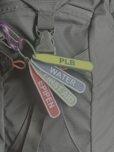
On isolated coastal routes, particularly multi-day walks away from phone coverage, a PLB or satellite communicator is appropriate. The ocean edge on the NSW coast is a serious environment. Waves are larger and more powerful than they appear from the track and rock platforms can be hit by unexpected large swells. The rule on coastal rock platforms is to keep well back from the water's edge at all times and never turn your back on the ocean.